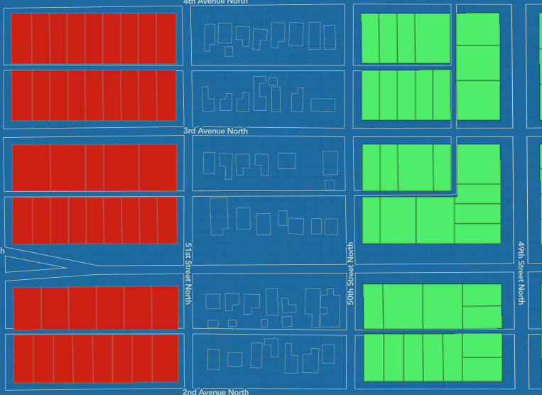
2-D Mapping
- Layout design, zoning, and land use analysis.
- Network planning and infrastructure maintenance for electricity, water, and gas services.
- Route planning, traffic management, and logistical coordination.
- Ecosystem analysis, natural resource management, and environmental impact assessments.
- Layout design, zoning, and land use analysis.
- Enhances situational awareness and planning for natural disasters or crises.
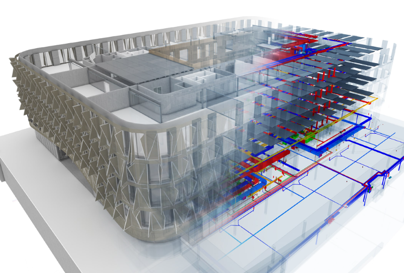
3-D Mapping
- In designing buildings and visualizing proposed structures.
- For planning and optimizing network coverage.
- Route planning, traffic management, and logistical coordination.
- In assessing terrain, watershed analysis, and climate impact.
- For risk assessment and response planning.
- In creating interactive 3D tours of destinations.
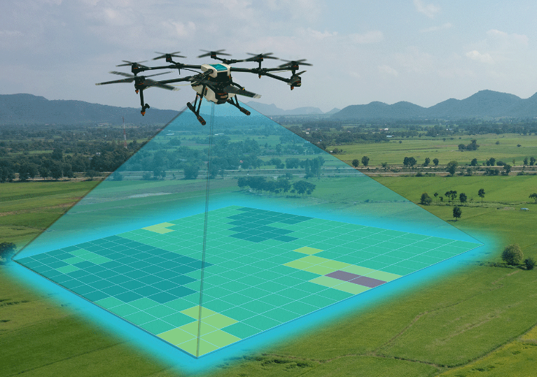
Drones and Lidar
- Capturing detailed aerial imagery for accurate mapping.
- Monitoring crop health and land use efficiency.
- Assessing ecosystems, wildlife habitats, and environmental changes.
- Surveying buildings, bridges, and utility lines for maintenance and safety.
Rapid assessment of damage and planning for relief operations.
Analyzing terrain and natural resource exploration.